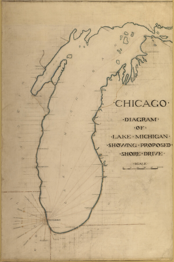
Plate 35 from Plan of Chicago 1909: Chicago, and Diagram of Lake Michigan. Proposed Roadway to connect all the towns along the shores of the Lake.
Item Information
By
Daniel Hudson Burnham
37 Views
0 Downloads
0 Liked
Saved
INFO
Author
Daniel Hudson Burnham
License
CC0
Dimensions
1491 x 2250
File Type
JPG